A new technology known as the open buildings data set has mapped out more than 1.8 billion structures, closing service gaps and strengthening community resilience.
The Open Buildings data set has been developed by researchers at Google Research Africa and converts high-resolution satellite imagery into the most complete public map of human settlement yet published.
Governments can now see how fast peri-urban neighbourhoods rise, spot new informal clusters or calculate flood depth against building elevation.
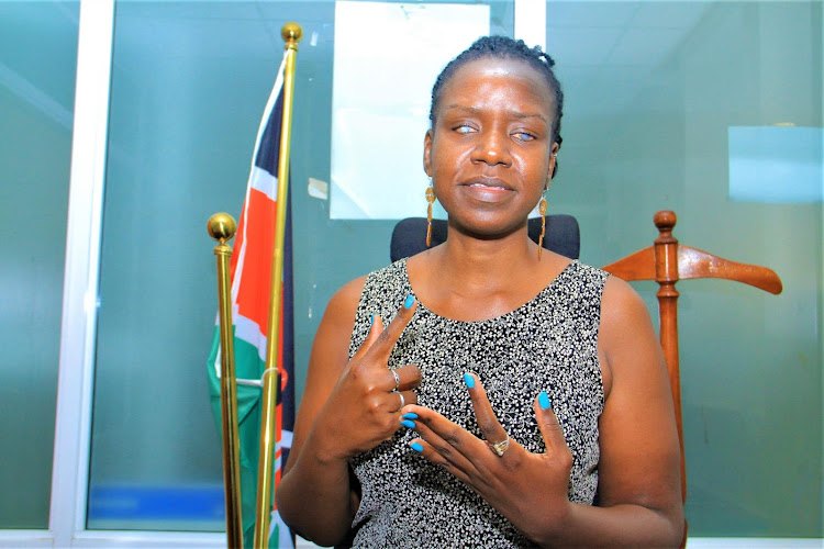
Aisha Walcott-Bryant, research scientist and head, Google Research Africa, said the projects show what happens when local expertise meets open, scalable technology.
From lifesaving clinics to climate-smart cities, the projects show how open AI is fast becoming Africa’s quiet engine for equitable progress.
Experts said across the continent, artificial intelligence tools are graduating from pilots to public service workhorses, powering everything from crop price forecasts to live language translation.
Open Buildings—developed by researchers at Google Research Africa—is part of that shift, proving that open, locally guided AI can turn sparse data into timely decisions without locking African problem-solvers behind paywalls or proprietary gates.
In Rwanda, the Ministry of Health and Kigali-based Sand Technologies resited rural clinics with help from the dataset.
Across Northern Nigeria, epidemiologists at Afenet and geographers from WorldPop uncovered 10,250 buildings, guiding vaccinators who reached 70 per cent of the zero-dose and under-immunised children identified through the mapping in just six months.
Meanwhile, the World Resources Institute (WRI) has already applied this flood-risk modelling in Dire Dawa, Kigali, Musanze, Gqeberha and Johannesburg, combining two-dimensional hydraulic simulations with building footprints to create block-by-block exposure maps.
“This detailed data was instrumental in shaping our approach to fostering innovative nature-based solutions that will enhance Nairobi's resilience and restore its vital river ecosystems,” he said.
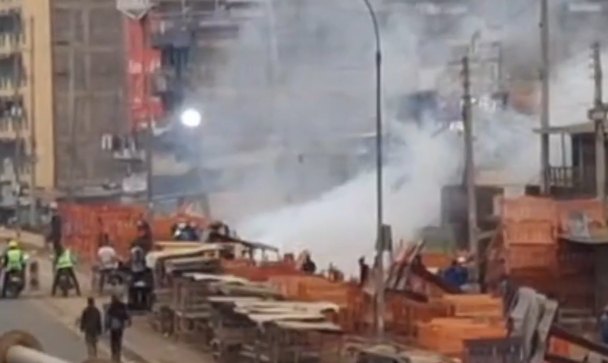
Last year's April–May floods killed almost 300 people in Nairobi.
“Overlaying those grids with vaccine-coverage maps lets our joint WorldPop–Afenet teams pinpoint zero-dose pockets and guide vaccinators street by street, so no child is missed.”
These projects tackle challenges felt across the continent.
By giving ministries, city engineers and NGOs a street-level view of where communities are growing and how they change over time, the Open Buildings dataset lets limited budgets flow to the people and places that need them most.
Google Research Africa, with centres established in Accra, Ghana (2018), and Nairobi, Kenya (2022), is dedicated to advancing fundamental AI research and developing AI-powered solutions that address the continent's unique challenges, including climate resilience, health innovation, and food security.


![[PHOTOS] Calm prevails in Kisumu, Homa Bay](https://cdn.radioafrica.digital/image/2026/06/dff8923b-c99a-4f40-a4be-cc996653e4e0.jpg)