

Kenya has taken a bold step in the fight against land degradation with the launch of new geospatial tools that promise to transform how the country protects its environment.
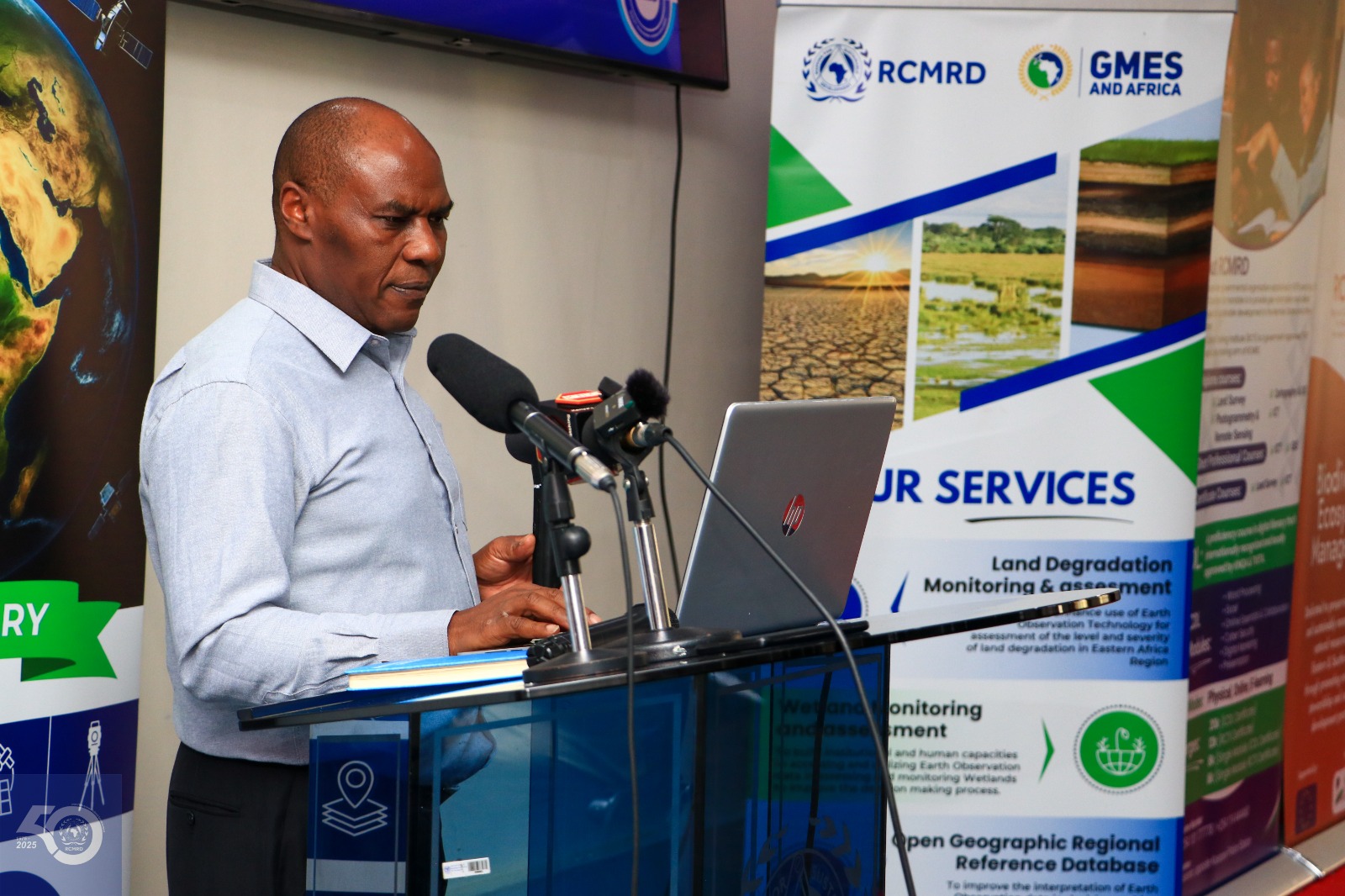
This follows the handing over of Land Degradation Index Map (LDIM) products to the Directorate of Resource Surveys and Remote Sensing (DRSRS) by the Regional Centre for Mapping of Resources for Development (RCMRD).
These tools are part of the Global Monitoring for Environment and Security (GMES) and Africa project.
The maps provide a clear picture of land degradation across Kenya and will help the government identify the worst-hit areas and focus restoration efforts where they are needed most.
The Directorate of Resource Survey and Remote Sensing (DRSRS) is a government agency in Kenya that plays a crucial role in the management and utilization of geospatial information and remote sensing data for various purposes, including natural resource management, environmental monitoring, and development planning.
This comes at a crucial time as Kenya rolls out a major tree-planting campaign championed by President William Ruto.
According to the Vincent Imala, Geo-Information Officer at DRSRS, this dataset will be instrumental in guiding the Kenyan government's strategic decisions regarding priority areas for tree planting across the 47 counties.
“This dataset is instrumental in guiding our strategic decisions on where to focus tree planting efforts,” said Vincent Imala, a Geo-Information Officer at DRSRS.
“By analysing the LDIM data, we aim to identify highly degraded areas for intervention ensuring the maximum ecological and societal impact.”
The campaign aims to restore damaged ecosystems, tackle climate change, and improve the livelihoods of communities affected by environmental decline.
To make these efforts more effective, DRSRS has also introduced a new digital tool dubbed Jazamiti Application, the geoportal uses the LDIM data to monitor and manage tree planting and land restoration activities.
It is expected to enhance transparency and ensure that resources go to areas that need them the most.
The initiative is part of a broader push to use Earth Observation (EO) technology in Africa.
RCMRD, which serves over 20 African countries, is leading this effort in Eastern and Southern Africa.
Supported by the African Union and the European Union, the GMES and Africa project is helping countries respond to environmental and climate challenges with science-based solutions.
By integrating EO data into planning and decision-making, Kenya is aiming for long-term sustainability and resilience.


