

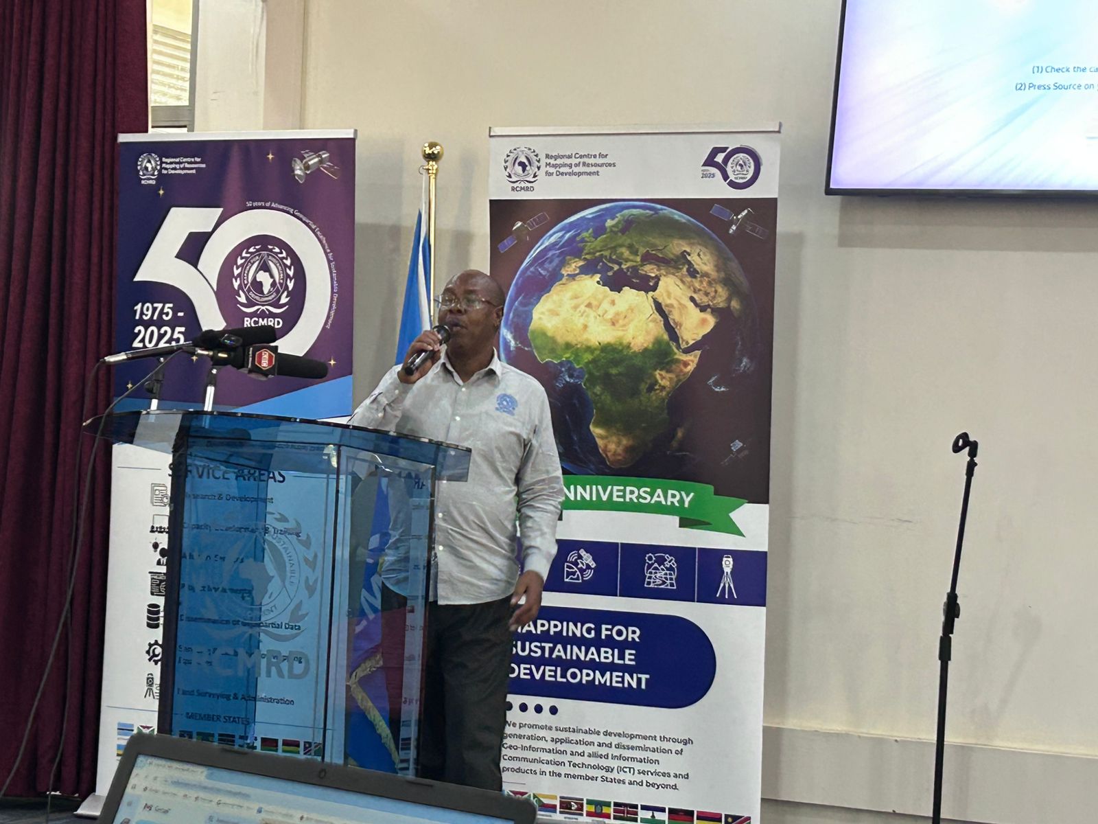
The Regional Centre for Mapping of Resources for Development (RCMRD) is set to mark its 50th anniversary on Monday, June 16, 2025.
Speaking during a media breakfast held on Friday, ahead of the celebrations RCMRD officials reaffirmed the center’s commitment to its mandate to help member countries with mapping activities to know how much they have in terms of resources.
“In 1975, the regional center was established and the reason as to why is that several countries were gaining independence and with transition, there was a need for us to put in place institutions that can support mapping.
“It was basic at that time in the sense that we just needed to know in terms of resources and the center supported several countries in doing that,” Kenneth Kasera, the User Engagement manager at RCMRD said.
The inter-governmental organisation currently has at least 20 Contracting Member States in the Eastern and Southern Africa Regions including Kenya, Botswana, Burundi, Comoros, Eswatini, Ethiopia, Lesotho, Malawi, and Mauritius.
Others are Namibia, Rwanda, Seychelles, Somali, South Africa, South Sudan, Sudan, Tanzania, Uganda, Zambia and Zimbabwe.
“We serve over half a billion people in these member states.”
RCMRD was previously known as the Regional Centre for Services in Surveying, Mapping and Remote Sensing (RCSSMRS).
Kasera said center offers services such as research and development, dissemination of geospatial data, servicing and calibration of mapping equipment and advisory services.
It also offers project implementation services, capacity development and training as well as land surveying and administration services.
These services are offered in four thematic areas including agriculture and food security, and land use change, land governance and urban development.
Ecosystem management and natural resources monitoring and also climate change and disaster risk reduction.
“We need to know more about our home and we exist to support making decisions in that regard… decisions as simple as how much food do we expect at the end of the season, which areas are flooded and who is at risk,” Kasera added.


![[PHOTOS]Ruto, Raila Present at 3rd Executive retreat](/_next/image?url=https%3A%2F%2Fcdn.radioafrica.digital%2Fimage%2F2025%2F06%2F3507d240-a087-46f8-ad2c-ad603fd50d03.jpg&w=3840&q=100)
