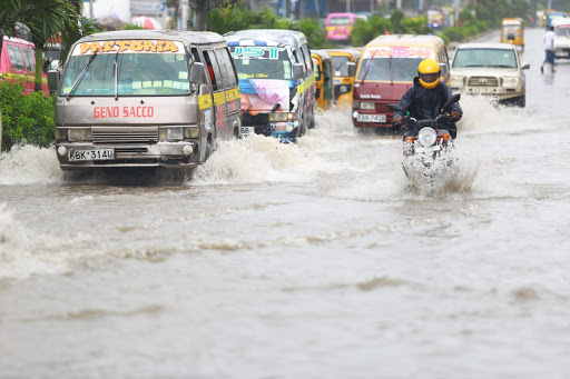
 Roads flooded after heavy rains hit Ukunda, October 29. /TRACY MUTHONI
Parts of Nairobi currently experiencing moderate to heavy rainfall should brace for sustained wet conditions until Wednesday, the Meteorological Department has said.
In an update issued Tuesday, the weatherman said rainfall is expected to exceed 20 mm (heavy) and, in some areas, surpass 50 mm (very heavy) within 24 hours.
The department cautioned that the rains may be accompanied by isolated storms, especially during the afternoon, evening, and early morning hours.
“Expect moderate to heavy rainfall across several areas with potential localised flooding and traffic disruptions,” Met said in the statement.
In Nairobi, the areas expected to receive heavy to very heavy rainfall include Embakasi East and South, Dagoretti South, Westlands, and Roysambu.
Surrounding regions such as Lari, Gatundu North and South, Kabete, Kiambu, and Kajiado North could also experience very heavy rainfall of up to 100 mm in some areas.
The weatherman added that on Wednesday, heavy rainfall is expected across Kuresoi South and parts of Kuresoi North, Molo, Njoro, Naivasha, Gilgil, Bahati, and Subukia subcounties, while moderate rainfall will persist in other areas until 9am.
“We may also have showers over large water bodies like lakes Nakuru and Naivasha and their environs (which includes the city) due to local climatological effects,” Kenya Met noted.
The update came as parts of the coastal strip experienced very heavy rainfall that disrupted traffic and business activities earlier on Tuesday.
In Ukunda and nearby tourism hubs, the downpour began around 1am and lasted until dawn, causing flooding and slowing morning operations.
Business was sluggish as pedestrians and commuters waded through flooded roads. Matatus and tuk-tuks recorded low passenger turnout, while public service vehicles took unusually long to fill up due to reduced movement.
In its October 26 advisory, Kenya Met had forecast enhanced rainfall along the Coast due to Chenge — the remnant of a tropical cyclone that had lost much of its energy but retained a low-pressure centre capable of causing heavy rain, cloudy conditions, and gusty winds.
At the time, the weak storm was moving westward over the Indian Ocean at 11 km/h, about 500 km north of Madagascar, with winds of 55 km/h, gusts up to 75 km/h, and a central pressure near 1000 hPa.
The storm was expected to dissipate near the Tanzania–Kenya coast by Tuesday, though its remnants continue to influence weather patterns.
“Heavy rains are likely over several parts of the country with strong coastal winds exceeding 25 knots,” the department said.


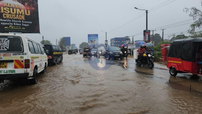
![[PHOTOS] Calm prevails in Kisumu, Homa Bay](https://cdn.radioafrica.digital/image/2026/06/dff8923b-c99a-4f40-a4be-cc996653e4e0.jpg)