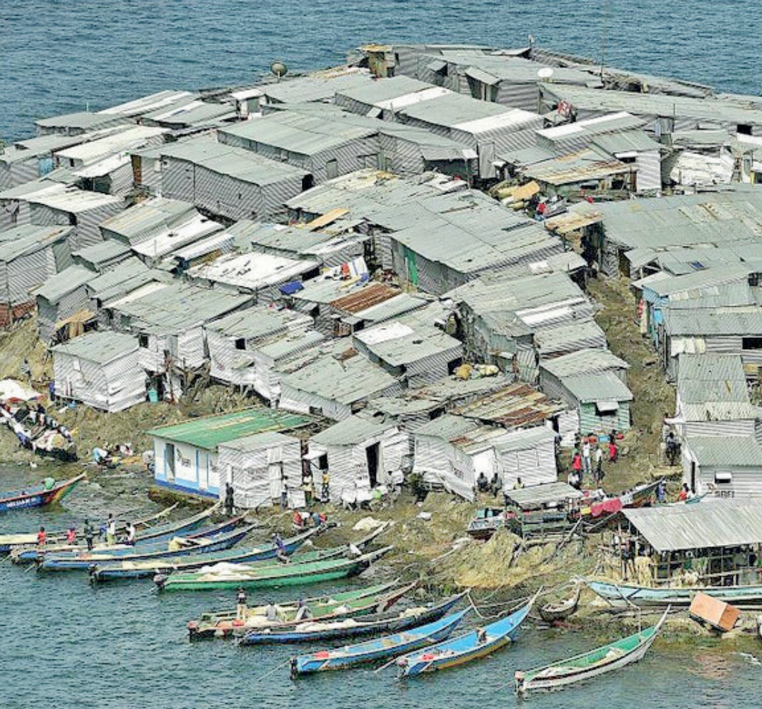
 Migingo Island/KNA
The less than 2,000 square-metre island, in Nyatike within Migori county is highly important for the two countries.
It is a rich fishing ground and a strategic location. However, the unending harassment of Kenyan fishermen and the community living on the Island by Ugandan security agencies, has continued to raise tension.
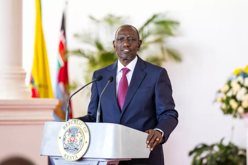
It is out of this that a group working and living on Migingo Island has petitioned President William Ruto to end the menace.
The petition to the Office of the President dated January 2, wants the government to make public the report of the 2009 joint survey team tasked with affirming the Kenya-Uganda boundary in Lake Victoria.
The survey was to determine whether the tiny island is within Kenya or not.
Dan Alila, a former special counsel at the Africa Human Rights Bureau, acting in the public interest and on behalf of Migingo island residents says that the petition seeks action to end ongoing slavery Kenyans have been subjected to since 2004 by Ugandan forces.
In June 2009, Kenya and Uganda formed a joint technical survey team to undertake a physical demarcation of the Lake Victoria border using the Kenya Colony and Protectorate (boundaries) Orders in Council of 1926 and the Constitution of Uganda.
The exercise came to an abrupt stop in early July 2009, when the joint surveyors differed on technicalities.
The Kenyan team later established that the island is 510 metres inside Kenya.
Alila says failure to make the report public has led to cruel and illegal arrests of Kenyans.
He says for two decades now, Kenyans living on Migingo Island and the Lake basin counties have been experiencing extreme and endless suffering in the hands of Ugandan security forces.
A number of survivors of the ongoing abuses are living in pathetic conditions, some ailing and others out of business.
The Kenya-Uganda boundary in Lake Victoria, within which the tiny Migingo island is located, was established in 1926 by the Kenya Colony and Protectorate (boundaries) Order in Council.
According to Alila, the geographical coordinates, as described by the
First Schedule to the Kenya Colony
and Protectorate (Boundaries) Order
in Council, place Migingo Island inKenya. Even before Uganda raised her claim over the island in 2004,it was not terra nullius (nobody’s land) and could, therefore, not be the subject of occupation by Uganda.
Similarly, Kenya has never ceded the island.
Kenya’s exercise of territorial dominion over the island has remained unopposed throughout these years backed mainly by the said boundary delineation and the stand of the Organisation of Africa Unity (OAU) and later, its heir, the African Union on the African boundaries established during the colonial period.
Alila says Kenyan fishermen continue to pay expensive fines for fish and fishing gear confiscated and at times subjected to jail term in Uganda prisons.
He says the report was submitted to the government in 2014 but 10 years down the line, it has not yet been made public yet the government has the constitutional mandate and obligation to do that. Although there have been diplomatic efforts to find a common ground over the conflict, these dipomatic overtures have not yielded much.
Migingo conflict remains a potential danger to international peace and security, especially within East Africa.
Alila urged leaders and officials from the Lake Region Economic Block and the national government to visit Migingo island to establish the socio-economic issues affecting the community.
In 2018, Siaya Governor James Orengo, then a senator,said the Migingo island case should be taken to the International Court of Justice.
At the time, Orengo said the row was getting out of hand as Kenyan fishermen were being harassed by Ugandan soldiers.