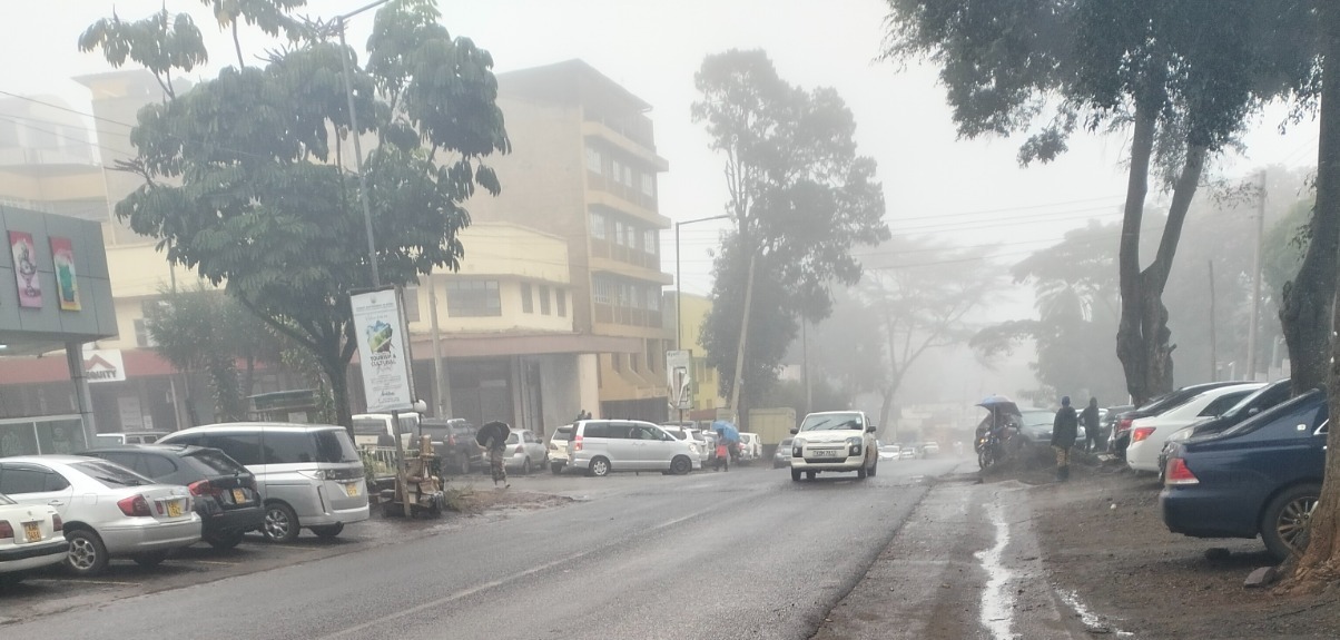

Kenya experienced unusually heavy rains between August 17 and 19, 2025, with meteorologists linking the downpour to rare global weather patterns.
According to the Kenya Meteorological Department (KMD), the rains were driven by two key factors that combined to intensify wet conditions over the region.
First was the Madden–Julian Oscillation (MJO), a tropical weather system that moves around the globe in phases.
During the period, it was in Phases 2 and 3 over the Indian Ocean, enhancing cloud formation and rainfall across East Africa.
“This system is classified into eight phases and brings rainfall over the country when it moves over the Indian Ocean (phases 2 and 3). Currently, the MJO is in phase 3 and is expected to remain in that phase for the next couple of days,” Met said
The second reason, according to the weatherman, a pressure gradient caused by a cooler-than-normal Atlantic Ocean shifted the rain-bearing system further east than usual.
This movement resulted in wetter conditions across several parts of Kenya, beyond what was typically expected for the season.
“When the Atlantic Ocean is cooler than the Indian Ocean, the
pressure gradient between these two oceans pulls the rain causing system
farther eastwards to the Central parts, including Nairobi, leading to enhanced
rainfall over these areas during the June to August season,” Acting Director of
Kenya Meteorological Services, Edward M. Muriuki said.
“These combined factors created a perfect setup for enhanced convection and heavier rainfall across the country.”
It noted that the unusual drivers have since eased, and conditions are gradually stabilising.
However, it emphasised that it is closely monitoring evolving patterns to provide timely updates.
The rains, though brief, caused localised flooding in some areas, disrupting transport and daily activities.
KMD has urged Kenyans to stay alert to official forecasts as the country heads into the short rains season later in the year.