Scientists observing changes happening on the planet are exploring how earth observation data and services can improve community resilience, even as millions of Kenyans go to bed on an empty stomach.
The international scientists are meeting at the Regional Centre for Mapping of Resources for Development in Nairobi as disasters such as drought and floods wreak havoc.
They are discussing agriculture and food distribution systems, early warning and disaster preparedness, geo-innovations in health and land administration.
Other issues under discussion are management systems, natural ecosystems and biodiversity conservation, smart and green cities, water resources and Blue Economy.
The conference, under the theme 'Earth observation services for resilient social systems', seeks to exchange ideas on the application of earth observation information and geospatial technologies for societal benefit.
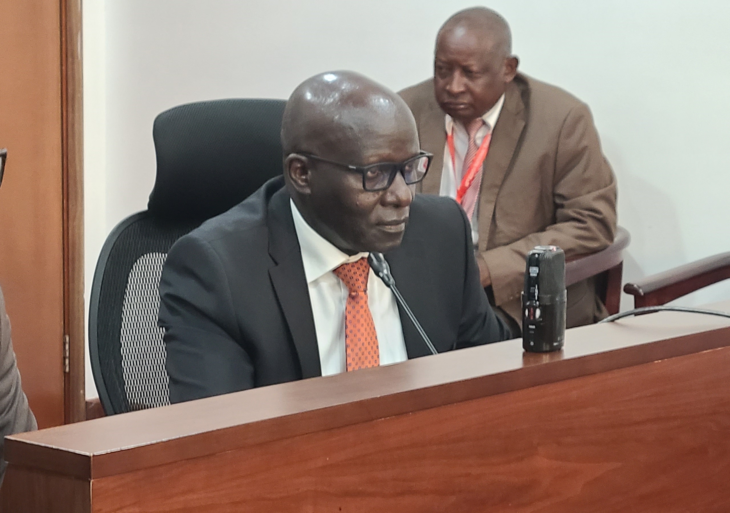
The centre's director general Dr Emmanuel Nkurunziza said the conference is critical for sharing what different scientists are doing in order to improve resilience in the wake of challenges bedevilling countries.
“Natural disasters such as flooding and food security remain a challenge. However, technology is critical in building resilience,” he said.
The centre was previously called Regional Centre for Services in Surveying, Mapping and Remote Sensing and was established in Nairobi in 1975 under the auspices of the United Nations Economic Commission for Africa.
Founding members included Kenya (host), Uganda, Somalia, Tanzania and Malawi.
The non-profit intergovernmental organisation currently has 20 contracting member states.
The centre renders services such as Geographic Information Systems (GIS) and cartography, land management, photogrammetry, remote sensing, servicing and calibration, spatial data supply, surveying and mapping and application and data set.
Nkurunziza cited other pressing challenges facing countries such as water scarcity, and urbanisation that can be addressed through the use of earth observation technologies.
He said the conference will help enhance resilience and contribute to sustainable development.
Among the pressing challenges that came up during the conference is the ongoing drought that has ravaged various counties in the country, as well as floods that have in the recent past been witnessed in other countries.
Esri director for conservation solution David Gadsden said climate is changing rapidly and no community is spared.
“We need to be prepared and earth observation technologies must be tapped for the future of humanity,” he said.
Esri is a global market leader in GIS.
Food and Agricultural Organization assistant representative Hamisi Williams said with proper data collection, analysis and technologies, countries can beat hunger.
Williams, who represented FAO country director Carla Mucavi, said his organisation has contributed to building the capacity of more than 200 technical officials in advanced geospatial.
“With the help of EU, we have established nine GIS labs in counties,” he said.
Williams said FAO has also negotiated with the EU with a view to implementing digital land governance in all the 47 counties.
He said some 30 counties are also set to have GIS labs that will also include capacity building of the technical staff.
“This will unlock the potential of land as a factor of production,” he said.
Williams said FAO has contributed a lot to the ongoing reforms in the land sector and is set to do even more.
Fahari Aviation general manager Hawkins Musili and Digital Earth Africa managing director Dr Thembi Xaba, among others, were present.
But even as the scientists put their heads together for the next three days, a devastating drought is currently ravaging various counties.
More than four million Kenyans are at the mercy of the devastating drought, with the figure expected to hit 4.35 million by the end of the year.
Approximately 3.5 million livestock have been lost in affected counties due to the ongoing drought.
Many species of wildlife have also not been spared as more than 179 elephants have succumbed to the biting drought.
On September 8 last year, the Kenyan government declared the ongoing drought situation a national disaster, calling for relevant ministries to initiate emergency assistance including water, food distribution and livestock uptake.
The National Drought Management Authority said the situation was worsening faster than was earlier projected.
In their estimation, the drought situation has deteriorated in 20 of the 23 ASAL counties.
These are Isiolo, Mandera, Samburu, Turkana, Wajir, Laikipia, Marsabit, Embu, Garissa, Kajiado, Kitui, Makueni, Meru, Narok, Nyeri, Tharaka Nithi, Taita Taveta, Tana River, Kwale and Kilifi counties.
The Kenya meteorological department in its climate outlook for the October-November-December 2022, 'Short Rains' warned that things are set to worsen as most parts of the country are likely to experience depressed rainfall with higher probabilities over the eastern sector.
This will be driven by cooler than average Sea Surface Temperatures (SST) over the western Equatorial Indian Ocean (adjacent to the East African coastline), coupled with warmer than average SSTs over the eastern Equatorial Indian Ocean (adjacent to Australia).
This constitutes a negative Indian Ocean Dipole that is unfavourable for enhanced rainfall over most of East Africa.
The SSTs over much of the central and eastern Equatorial Pacific Ocean are below average, suggesting the presence of La Niña conditions.
Kenya Meteorological Department said throughout the season, it is anticipated that most areas will have a generally poor distribution of rainfall in both time and space.
(edited by Amol Awuor)
“WATCH: The latest videos from the Star”


