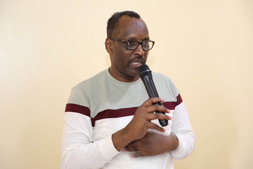
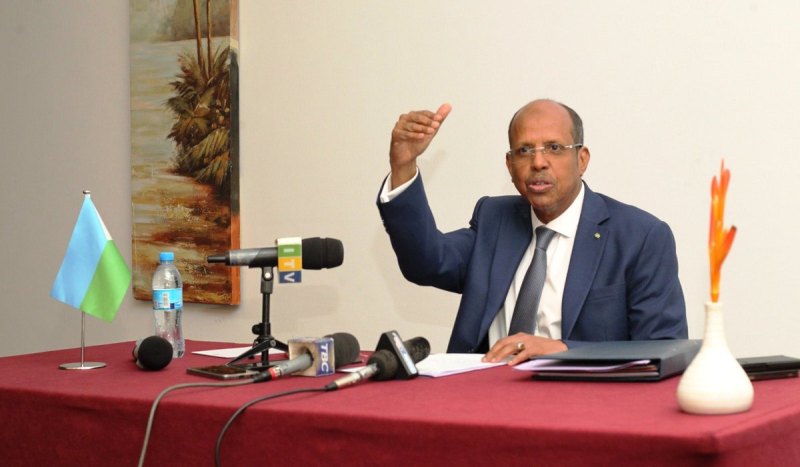
 Mandera County Lands and Physical Planning executive Salah
Alio speaking to the media on May 12, 2025./PHOTO: STEPHEN ASTARIKO
Mandera County Lands and Physical Planning executive Salah
Alio speaking to the media on May 12, 2025./PHOTO: STEPHEN ASTARIKOMandera County has taken a major step toward modernising land governance by partnering with the Survey of Kenya to install a full-scale geodetic control network.
The initiative involves setting up precise reference points—known as geodetic control points—that are vital for accurate surveying, mapping, and planning.
These fixed markers will serve as the foundation for spatial data used by surveyors, engineers, and planners to design infrastructure, settle land disputes, and guide development projects with scientific accuracy.
A geodetic control network is a system of precisely measured and permanently marked reference points on the Earth’s surface that are used for accurate mapping, surveying, and spatial planning.
These control points—often marked by physical monuments or beacons—have known geographic coordinates (latitude, longitude, and sometimes elevation) based on global positioning systems (like GPS) or traditional geodetic techniques.
WHAT IT’S USED FOR:
Surveying: Ensures accuracy in measuring land and property boundaries.
Mapping: Forms the backbone of topographic and cadastral maps.
Engineering & Construction: Helps design roads, buildings, and infrastructure with precision.
Land Administration: Supports land registration, title deeds, and dispute resolution.
Management & Climate Monitoring: Helps track land changes due to natural disasters or climate events.
In short, it’s like giving every piece of land a reliable, universal “address” in a spatial system.
Speaking at the launch, Mandera County Executive for Lands and Physical Planning, Salah Alio, described the move as a game-changer for the region.
“This strategic initiative marks a revolutionary step in the modernization of land management, spatial planning, and infrastructure development in our county,” he said.
“For too long, Mandera has been seen as a geographic periphery. This network puts us at the center of smart planning and national integration.”
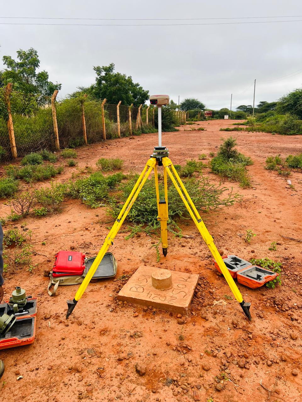 SoK Geodetic Control point- Banissa 1. All the points are strategically located at Public Facilities./PHOTO: STEPHEN ASTARIKO
It will also guide the intelligent planning of essential infrastructure such as roads, housing, and water and sanitation systems.
Given Mandera's location at the tri-border of Kenya, Somalia, and Ethiopia, the system holds regional significance as well.
It is expected to support more secure borders, promote cross-border connectivity, and enable climate-smart planning in areas affected by drought and conflict over land.
Director of Survey Weldon Maritim praised Mandera’s bold move, calling it a visionary investment in spatial intelligence.
“This aligns with Kenya’s Vision 2030, the National Spatial Plan, and the African Union’s efforts to improve land governance across the continent,” Maritim said.
Residents have welcomed the development, with Mohamed Hassan noting that Mandera is now setting the pace for other counties still relying on outdated systems.
The county has also fully adopted the Land Information Management System (LIMS), transitioning from manual to digital land records—a move that further boosts transparency and efficiency in land services.
![[PHOTOS] Raila Odinga Stadium construction enters home stretch](https://cdn.radioafrica.digital/image/2026/06/45f6990c-4882-4cd2-b83c-8fc730dcdce5.jpg)