Wildlife Research and Training Institute director Patrick Omondi
/GILBERT KOECH
Msambweni-Vanga sea and landscape could soon be listed as
the first marine Ramsar site in Kenya.
A Ramsar site is a wetland designated as being of international importance under the Ramsar Convention on Wetlands.
Marine Ramsar sites
specifically refer to wetlands located in coastal or marine environments that
meet the criteria for Ramsar designation. These sites are recognised for their
ecological significance and are protected under international agreements.
Already, a proposal has been made, and the necessary processes are ongoing, with the Wildlife Research and Training Institute spearheading the process.
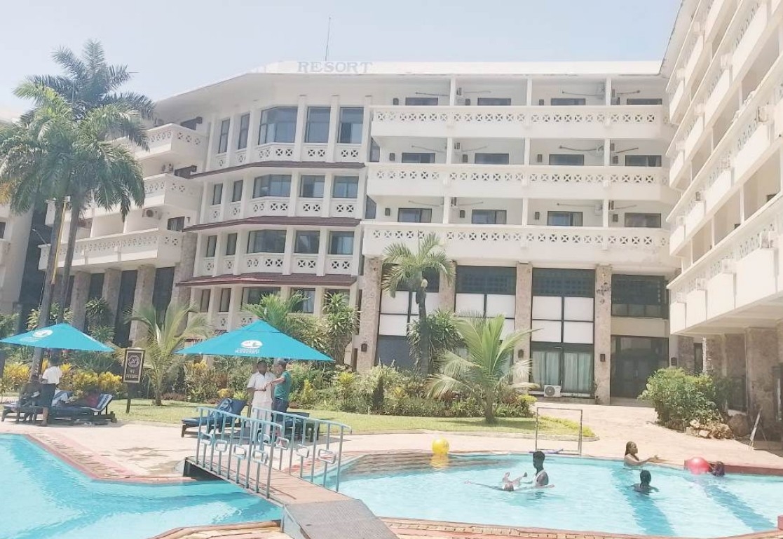
On August 6, a high-level consultative meeting for the
designation of the site took place at the North Coast Beach Hotel.
WRTI director Dr Patrick Omondi underscored the importance
of the Ramsar designation as part of Kenya’s broader efforts to meet its global
biodiversity commitments under the Kunming-Montreal Global Biodiversity
Framework and the Sustainable Development Goals.
“Ramsar listing is one of the ways to implement Other Effective
Conservation Measures (OECMs) and promote the wise use principles that underpin
the Ramsar Convention,” Omondi said.
He emphasised the vital role of community engagement in
achieving inclusive conservation outcomes.
There are six Ramsar sites in Kenya.
They include Lake Nakuru, listed as site number 476 in 1990
and covering 18,800 hectares.
Lake Naivasha was listed as Ramsar site 724 in 1995 and
covers 30,000 hectares. In 2001, Lake Bogoria was listed as Ramsar site number
1,097, covering 10,700 hectares.
Lake Baringo was listed as Ramsar site number 1,159 in 2002
and covers 31,469 hectares.
In 2005, Lake Elementaita was listed as Ramsar site number 1,498
and covers 10,880 hectares.
Tana River Delta was listed as Ramsar site number 2,082 in
2012 and covers 163,600 hectares.
Omondi said the sensitisation of communities and
stakeholders is critical to ensuring the long-term success of the Ramsar site
and achieving shared goals for biodiversity protection, food security and
improved livelihoods.
The meeting aimed to establish a community and stakeholder
sensitisation team to build support for the Ramsar designation process.
“Working together means speaking the same scientific and
management language that will holistically encompass the needs of wildlife and
humans,” Omondi said, adding that the institute is committed to leading
multi-stakeholder efforts in protecting fragile marine ecosystems.
The Msambweni–Vanga area, rich in biodiversity and cultural
heritage, has already received endorsement from stakeholders in previous
meetings.
A key outcome of the consultative forum was the review of
the designation dossier developed in collaboration with partners including the
Kenya Marine and Fisheries Research Institute, the Kenya Wildlife Service and
the Kenya Forest Service, among others.
The meeting also sought to define agency roles, initiate
sensitisation plans, endorse the designation dossier and explore funding
mechanisms for effective site management and benefit-sharing.
The proposed site, if listed, will become the first marine Ramsar site in Kenya.
This activity aligns with the institute’s strategic research
initiative as outlined in the Strategic Plan (2023-2027).
An area is designated as a Ramsar for several reasons. When
a place has been declared a Ramsar site, it receives enhanced conservation and
sustainable use.
They also signify a commitment to the conservation and
sustainable use of the wetland's resources, promoting the wise use and
recognising the ecological, economic, cultural and recreational values of the
site.
The move fosters international cooperation and effective
monitoring and reporting.
It also promotes and enhances education and public
awareness.
Before a place is declared a Ramsar site, there are several
steps and it is primarily the responsibility of the country where the wetland
is located.
The complete guidelines are contained in the “strategic
framework and guidelines for future development.
The site is identified and nominated before it is assessed
and evaluated.
It is then approved and designated, which is then followed
by regular review and monitoring.
Such sites attract international cooperation.
Msambweni-Vanga Land and Seaspace is reported to meet the wetland of
international importance criteria.
The area supports vulnerable, endangered, or critically
endangered species or threatened ecological communities.
It also supports populations of plant and animal species
important for maintaining the biological diversity of a particular
biogeographic region.
The area supports plant and animal species at a critical
stage in their life cycles or provides refuge during adverse conditions and
also supports a significant proportion of indigenous fish subspecies, species
or families, life-history stages, species interactions and populations that are
representative.
It is also an important source of food for fish, a spawning
ground, nursery and migration path on which fish stocks, either within the
wetland or elsewhere, depend.
Already, the area has been identified and boundaries
defined.
Two stakeholder workshops have been conducted. The next step
is the establishment of a technical committee and working groups to spearhead
assessment and evaluation for submission of the Ramsar Fact Sheet.
The activity aligns with the institute’s strategic research initiative as outlined in the Strategic Plan (2023-2027).